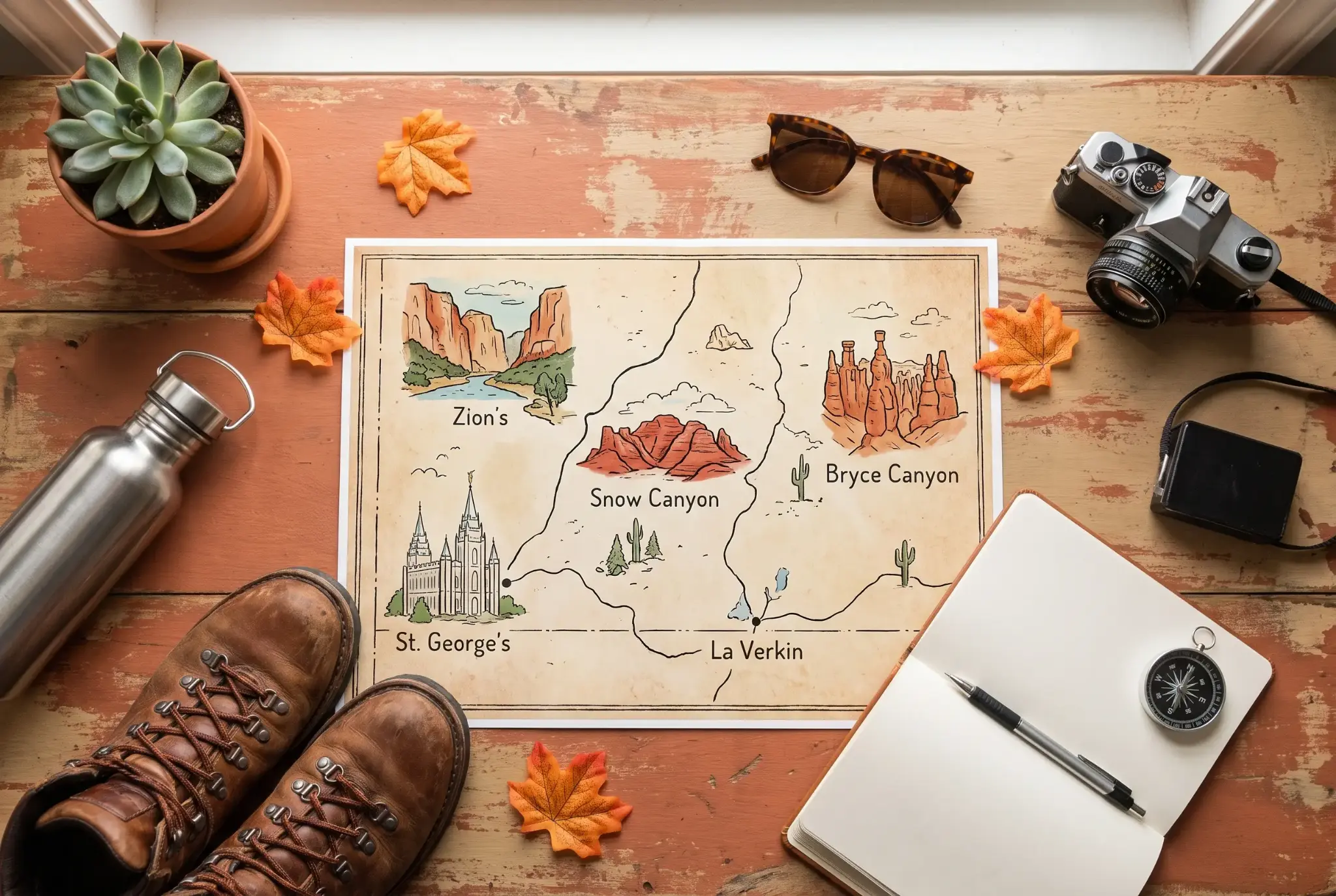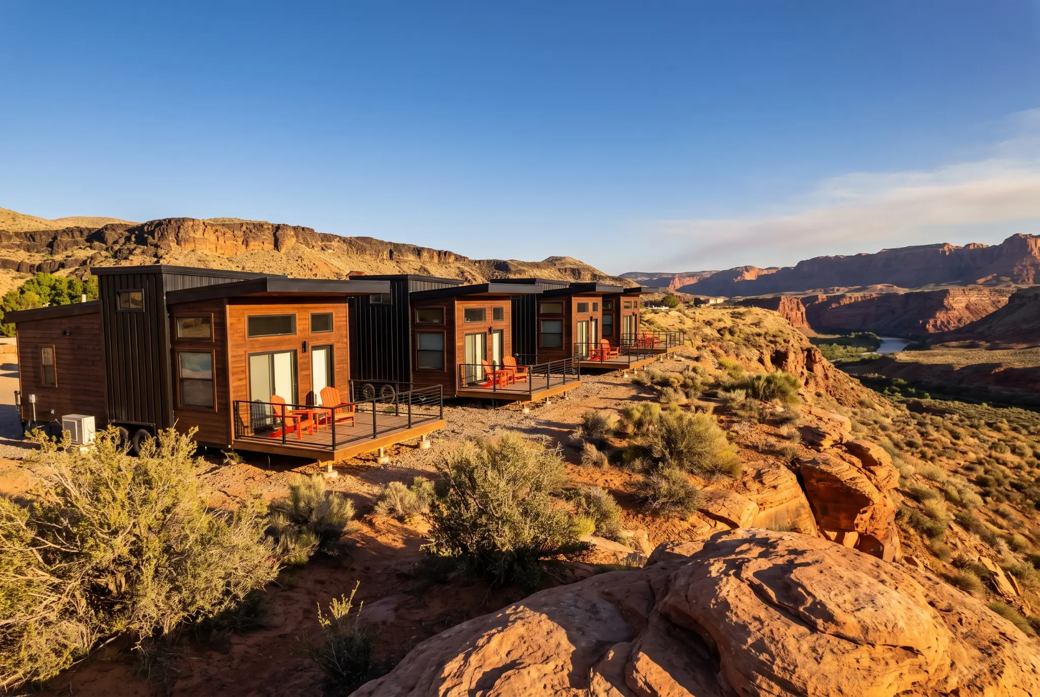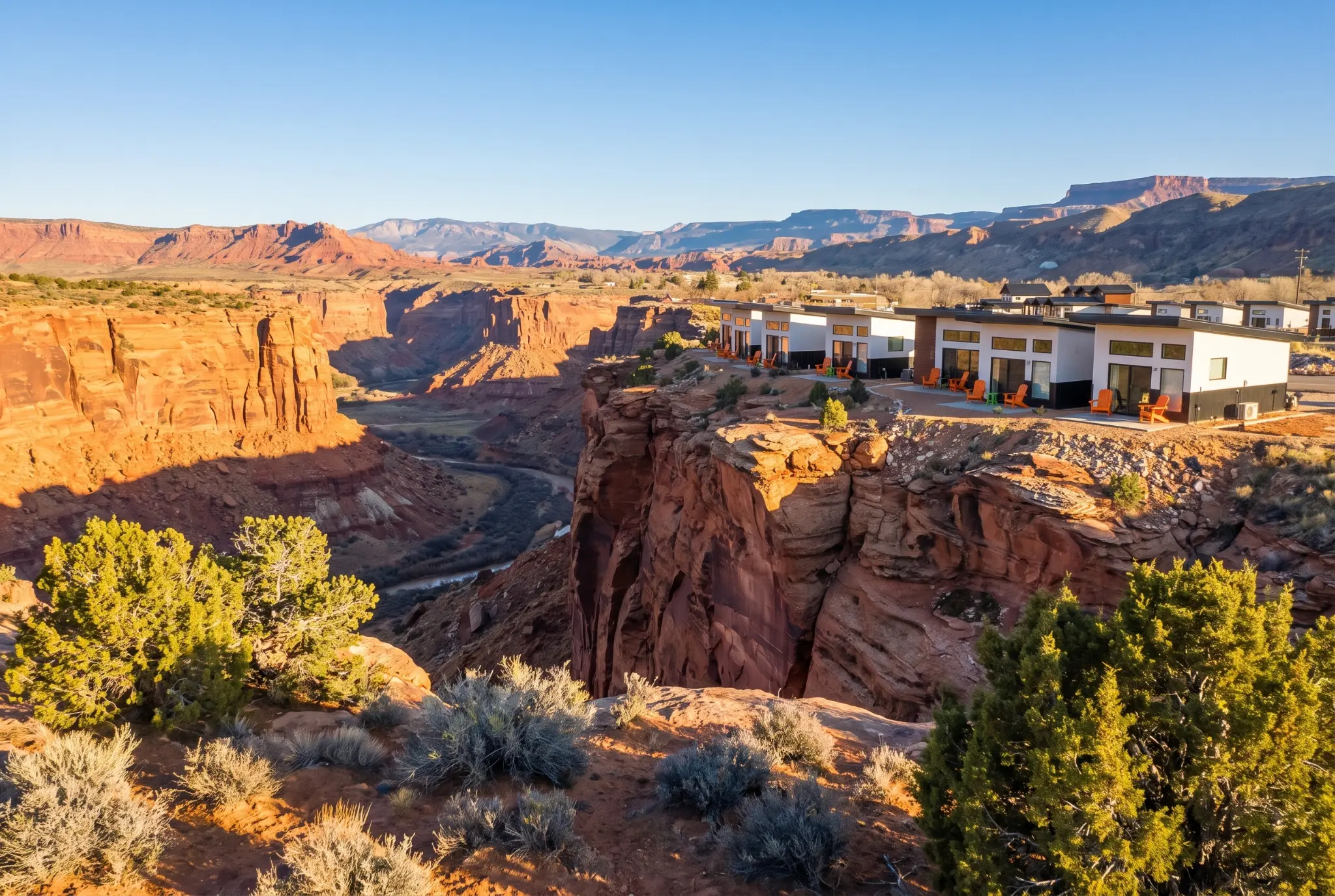
Washington County in southwestern Utah delivers what serious mountain bikers crave: 300+ miles of purpose-built singletrack across slickrock terrain that stays rideable when snow blankets the rest of the state. This corner of southern Utah has earned its reputation as the winter mountain biking capital of the American Southwest, drawing riders escaping frozen trails in Park City, Salt Lake City, and beyond.
This guide covers the trail systems radiating from St. George, Hurricane, and surrounding Washington County communities. We’re focusing specifically on this desert paradise rather than northern Utah destinations like the Bonneville Shoreline Trail, Wasatch Crest Trail, or the mid-mountain trail networks near Little Cottonwood. If you’re seeking technical slickrock challenges, year-round riding conditions, and proximity to Zion National Park, tips for first-time visitors, you’re in the right place.
The direct answer: Washington County offers intermediate to advanced mountain bikers over 300 miles of maintained singletrack with reliable riding conditions from October through April, making it Utah’s premier destination when winter shuts down higher-elevation trails elsewhere.
By the end of this guide, you’ll understand:
- The unique characteristics of slickrock terrain and how to ride it confidently
- Which trail systems match your skill level and riding style
- Optimal seasonal timing and logistics for planning your adventure
- Solutions to common desert riding challenges
- Local resources to enhance your Washington County MTB experience
Understanding Southern Utah’s Mountain Biking Terrain
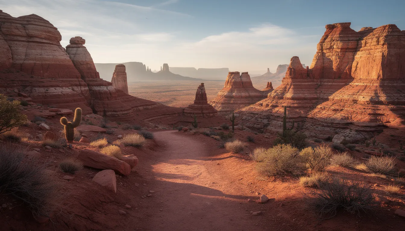
The terrain defining Washington County’s mountain biking experience differs fundamentally from dirt singletrack found elsewhere in Utah. Understanding these characteristics helps riders prepare mentally and physically for what the desert delivers.
Slickrock Formations and Trail Riding Characteristics
Slickrock isn’t slick at all. The Navajo sandstone dominating Washington County provides remarkable grip more traction than most riders expect on their first encounter. This ancient stone, formed from compressed sand dunes over 180 million years ago, creates a riding surface that grabs rubber aggressively even on steep inclines that would send tires spinning on dirt.
The explicit connection to skill development: slickrock riding demands precise weight distribution and line selection. Riders accustomed to loose dirt must recalibrate their technique. The terrain rewards commitment and punishes hesitation. Features that appear intimidating steep rollovers, exposed traverses, technical climbs become manageable once you trust the grip.
Desert Climate and Year-Round Riding Conditions
Washington County sits at lower elevation than most Utah mountain biking destinations, typically between 2,500 and 4,500 feet. This geography creates the temperate weather conditions that make winter mountain biking possible when trails near Brian Head, the Moab area, or anywhere along the Wasatch front disappear under snow.
Late fall through early spring delivers ideal riding temperatures. Summer presents a challenge triple-digit heat makes midday riding inadvisable from June through September. The relationship between seasons and trail access is straightforward: when northern Utah mountain bikers are waxing skis, Washington County trails are at their prime.
The strategic advantage for riders extends beyond just accessibility. While crowds pack trails during Park City’s peak season, the mountain biking community in St. George maintains a more relaxed atmosphere with reliable access to top Southern Utah mountain biking trails that span all skill levels.
Washington County’s Premier Trail Systems
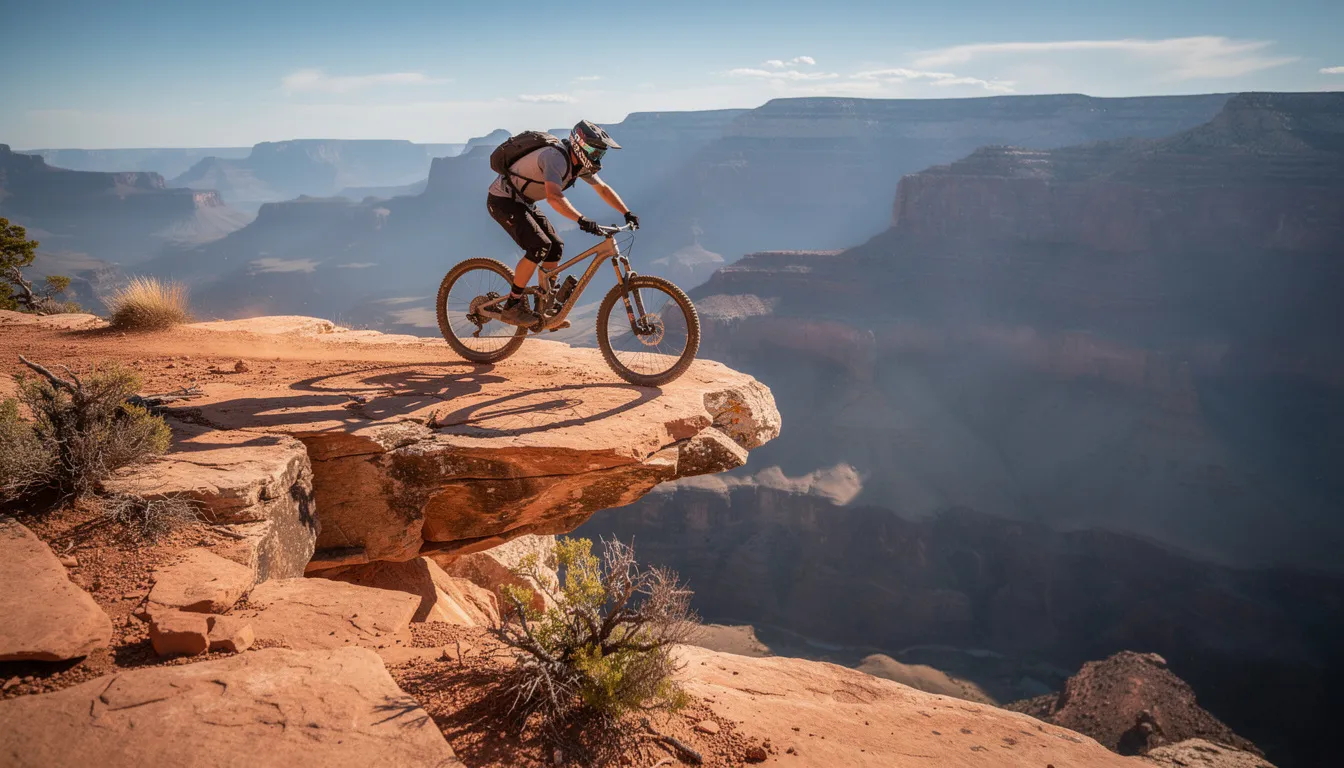
The trail networks across Washington County serve diverse rider abilities while sharing common characteristics: technical slickrock features, desert scenery, and views that range from distant mountain horizons to the towering walls of Zion National Park.
Gooseberry Mesa Trail Network
Gooseberry Mesa stands among the world’s most celebrated slickrock destinations, and its reputation is earned. In mountain biking, modern bikes are typically grouped by the different off-road styles they’re built for, from trail riding to more aggressive uses. The mesa top delivers approximately 15 miles of interconnected loops across exposed Navajo sandstone with technical trails that challenge even experienced riders.
The terrain combines steep rolldowns, rock gardens, and optional line choices that let riders dial difficulty up or down. Views extend across the Virgin River Gorge toward Zion’s iconic formations. The ride out to Gooseberry from Hurricane involves either a rough dirt road or car shuttle, plan accordingly.
Skill level context: Gooseberry rewards intermediate to advanced riders. The exposed slickrock and technical moves require solid bike handling, and trail mountain bikes are a strong match because they balance climbing and descending well. Riders comparing bikes should pay attention to suspension type, since a suspension mountain bike offers more control on uneven rock. A full suspension bike can add comfort and traction here, and many experienced riders prefer full suspension for repeated impacts on technical terrain. Beginners may find the terrain overwhelming, though walking difficult sections is always an option.
Hurricane Area Trails (JEM, Hurricane Rim, Goulds Rim)
The Hurricane area trail system earned IMBA Epic status for good reason. JEM Trail and Hurricane Rim combine to create a 30+ mile network that transitions between slickrock ledges, desert washes, flowing singletrack, and stretches of dirt roads with consistent intermediate terrain. Trail mountain biking is the most common style, and trail bikes are a natural fit here because they balance climbing efficiency with downhill confidence. For riders with a cross-country XC background, this mesa still feels efficient without losing the playful character that keeps mountain bike riders engaged over longer loops.
Hurricane Rim specifically offers exposed ridge riding with canyon views that justify every pedal stroke on the hill climb. Goulds Rim extends the network with additional technical options, and riders often prefer a full-suspension bike here because front and rear shock absorbers improve control on technical trails. The flow characteristics here differ from Gooseberry’s pure slickrock expect more variety in surface conditions and terrain transitions than in a pure cross route.
Access is straightforward from the town of Hurricane, with multiple trailhead options allowing riders to customize loop lengths from quick afternoon spins to full-day adventures, whether they want a relaxed tour or a cross-country day with the right suspension helping on exposed slickrock descents.
St. George Area Networks (Barrel Roll, Sidewinder, Little Creek Mesa)
St. George proper hosts trail systems spanning the ability spectrum. Barrel Roll and Sidewinder deliver machine-built flow that’s pretty easy for newcomers while remaining engaging for experienced riders looking to work on speed and technique. Much of the network is singletrack, about the width of your shoulders, while access segments or connectors may be doubletrack, roughly twice as wide.
Little Creek Mesa presents a different challenge entirely. This 9-mile slickrock loop rivals Gooseberry for technical demands, with committed exposure and terrain that’s explicitly recommended for experienced riders. Trail systems like these are typically graded from beginner to expert levels, which helps riders choose suitable loops, whether they prefer a flat pedal setup for confidence or more technical lines with rock features and jumps. Panoramic views extend to the Pine Valley Mountains, and the riding rewards those with advanced skills. Navigation requires attention cairns mark the route across open rock where painted lines would spoil the natural experience. Bike choice matters too, since wheel size and wheels can change how responsive a bike feels on tighter turns and ledges. By contrast, cross-country bikes typically weigh around 20-30 lbs and focus on endurance.
Key point summary: Washington County trail variety means riders can progress from beginner-friendly flow trails near St. George through intermediate networks around Hurricane to advanced slickrock challenges at Gooseberry and Little Creek Mesa.
Planning Your Washington County MTB Adventure
Building on trail system knowledge, successful trips require attention to timing, logistics, and honest skill Building on trail system knowledge, successful trips require attention to timing, logistics, and honest skill assessment. Unlike road cycling, this kind of riding demands trail-specific mountain bike gear, and many mountain bikers ride in helmets and other protective layers for comfort and safety in changing conditions. It also puts you deeper into nature, so planning for terrain, weather, and trail etiquette matters just as much as fitness.
Seasonal Timing and Logistics
The ideal window spans October through April, with peak conditions typically in late fall and early spring, aligning with broader guidance on the best seasons to visit Southern Utah and The Dwellings. Mountain bikers ride closer to the terrain and elements than road cyclists usually do, so gear choices matter more for protection and comfort on remote trails. Winter months deliver the most reliable access when mountain biking elsewhere in Utah becomes impossible. Summer riding demands early morning starts first light departures to finish before heat becomes dangerous.
Beyond riding, many visitors also enjoy non-hiking ways to explore Southern Utah, from scenic drives and ATV tours to stargazing and horseback riding, including top scenic drives in Southern Utah such as Zion Park Scenic Byway and Smithsonian Butte and detailed guidance for planning your Zion National Park scenic drive routes and viewpoints.
Planning steps for your visit:
- Monitor weather patterns starting two weeks before arrival. Desert systems can shift quickly, and rain makes slickrock genuinely slick.
- Book accommodation early during peak winter season. St. George serves as the primary hub with full amenities, while Hurricane offers closer proximity to several trail systems.
- Prepare appropriate gear including more water capacity than you’d carry elsewhere, sun protection, protective gear, mountain bike shoes that match your pedal setup, and a tubeless tire setup for Slickrock’s abrasive surface.
- Check current trail conditions through local shop reports and community forums. Some trails close seasonally for wildlife protection or maintenance.
- Identify local bike shops for mechanical support, shuttle services, and current beta. Shops in St. George and Hurricane serve the mountain biking community with regional expertise.
Location advantage: Washington County sits about 2 hours from Las Vegas, making fly-in trips practical and well-suited to electric vehicle road trips through Southern Utah with EV-friendly lodging and charging stops. The town of St. George offers urban amenities, restaurants, lodging, and gear shops without sacrificing access to world-class trails.
Trail Difficulty and Skill Progression
Matching trails to your abilities prevents frustration and keeps riding safe. This comparison helps riders select appropriate objectives:
| Trail/Area | Difficulty | Key Features | Best For |
|---|---|---|---|
| Barrel Roll | Beginner | Machine-built flow, minimal exposure | New riders, skill building |
| Sidewinder | Beginner-Intermediate | Progressive features, jump options | Developing technique |
| JEM Trail | Intermediate | Mixed terrain, extended distance | Building desert endurance |
| Hurricane Rim | Intermediate-Advanced | Exposed ridge, technical climbs | Confident riders seeking views |
| Gooseberry Mesa | Advanced | Pure slickrock, technical moves | Experienced Slickrock riders |
| Little Creek Mesa | Advanced | Committed exposure, navigation challenge | Skilled riders seeking adventure |
Riders new to Slickrock should start on easier St. George trails to calibrate grip expectations before committing to exposed mesa riding. The progression from flow trails to full slickrock typically takes riders three days of focused practice to build confidence, and bikes with wide tires can add grip and stability on slickrock and other uneven surfaces. For riders expecting rough terrain, that extra traction can make early practice more forgiving.
Common Challenges and Solutions
Desert mountain biking presents specific challenges that preparation and strategy address effectively, especially for riders planning winter trips through Southern Utah with potentially slick roads and changing conditions or looking to mix riding days with other winter adventures in Southern Utah like skiing, snowshoeing, and tubing.
Navigation on Unmarked Slickrock Terrain
Slickrock trails often follow cairns and painted dots rather than obvious singletrack. GPS devices and trail apps become essential tools rather than optional conveniences. Download offline maps before leaving service areas, as cell coverage fails in many riding zones.
The practical solution: Use dedicated GPS units or phone apps like Trailforks with downloaded maps. Study routes before riding and note key waypoints, and consider basing your trip around the many things to do in St. George, from outdoor recreation to cultural attractions. Riding with friends who know the area accelerates the learning curve significantly.
Heat Management and Hydration in Desert Conditions
The desert demands more water than most riders initially estimate. Plan for a minimum of 100 ounces for moderate rides, more for extended adventures. There’s no water access on most trails; what you carry is what you have.
Actionable strategy: Ride early, rest midday, consider evening sessions when visiting during shoulder seasons like fall, when Southern Utah’s scenic drives, autumn colors and top fall hikes in Zion National Park with cooler temps and vivid foliage add extra rewards off the bike. Wear sun-protective clothing. Carry electrolytes. Know that rescue in remote areas takes time; conservative preparation prevents emergencies.
Technical Skill and Protective Gear Requirements for Slickrock Riding
Slickrock’s grip profile rewards different techniques than loose terrain. Weight distribution over the rear wheel during descents, commitment through steep rollovers, and trusting traction on climbs that appear impossible, these skills develop with practice. Across different styles, modern mountain bikes are bikes based on intended use, and all-mountain setups commonly pair a suspension fork with 140- 150 mm of front suspension travel. For technical descents, enduro bikes typically use front and rear suspension with 160-180 mm of travel, including rear suspension that helps maintain control over obstacles and fast descents while keeping tires connected to the ground. By contrast, downhill mountain biking uses heavier machines built for downhill riding; downhill bikes usually weigh 35-44 lbs and are made for steep descents rather than all-day climbing.
Skill-building approach: Start on lower-consequence features. Walk anything you’re uncertain about on first encounters, especially around rocks, drop-offs, and other trail features that demand precise timing. Many riders find that watching experienced locals reveals line choices that aren’t obvious, and capturing progress with landscape photography tips tailored to Southern Utah adventures can help preserve those breakthrough moments. The St. George mountain biking community welcomes visiting riders, and joining group rides accelerates learning.
Conclusion and Next Steps
Washington County delivers what Utah mountain biking promises at its best: technical terrain, stunning desert scenery, anWashington County delivers what Utah mountain biking promises at its best: technical terrain, stunning desert scenery, and reliable conditions when the rest of the state goes dormant. From machine-built flow near St. George through intermediate Hurricane networks to advanced slickrock challenges on the mesas, this region serves the full spectrum of committed riders. That range also reflects the wider sport, from trail loops and enduro events to downhill racing and dual slalom formats where riders compete on purpose-built courses. In bigger mountain destinations and some ski resorts, park-focused riders often wear a full-face helmet and body armor for added protection when features get faster and consequences rise.
Your immediate next steps:
- Assess your current skill level honestly and identify 2-3 target trails matching your abilities
- Plan your visit for optimal seasonal timing late fall through early spring for best conditions
- Prepare desert-specific gear including enhanced hydration capacity and sun protection
- Connect with local shops in St. George or Hurricane for current conditions and shuttle options
- Consider extending your trip to explore adjacent opportunities, such as hiking in Zion National Park, rafting, or exploring the broader southwest
Related exploration worth considering: The Colorado River corridor offers camping and rafting opportunities, Zion provides world-class hiking with five must-do hikes in Zion National Park for a range of abilities, and the broader southern Utah region contains destinations like the top five day trips from St. George within a three-hour drive and the renowned Porcupine Rim in the Moab area for riders seeking to extend their Utah adventures.
Additional Resources
Local Bike Shops and Services:
- St. George hosts multiple full-service shops offering rentals, repairs, and guided rides
- Hurricane-based shops provide shuttle services to Gooseberry and other mesa trails
- Most shops offer current trail condition reports and local beta
Trail Information:
- Trailforks and MTB Project maintain updated Washington County trail data
- Local shop social media accounts post real-time condition updates
- Washington County maintains trail system maps at major trailheads
Accommodation:
- St. George offers full hotel and vacation rental options with easy trail access
- Hurricane provides closer proximity to several trail systems with a smaller-town atmosphere
- Dispersed camping exists on BLM land surrounding many trail networks, and nearby communities like La Verkin offer additional outdoor adventures from parks and reservoirs to desert gardens and fossil sites
Before venturing into more remote corners near Zion, review current Zion National Park tips and safety updates, including permits and seasonal changes.
Safety Resources:
- Washington County Search and Rescue responds to backcountry emergencies
- Cell service is unreliable in many riding areas carry emergency communication devices for remote rides
- Local hospitals in St. George provide trauma care if needed, and thoughtful outdoor adventure gifts like protective layers, cameras, and trail-ready gear can make future trips safer and more enjoyable